Fairfield Close, Ardingly
Introduction
The photograph on this page of Fairfield Close, Ardingly by Simon Carey as part of the Geograph project.
The Geograph project started in 2005 with the aim of publishing, organising and preserving representative images for every square kilometre of Great Britain, Ireland and the Isle of Man.

There are currently over 7.5m images from over 14,400 individuals and you can help contribute to the project by visiting https://www.geograph.org.uk
Fairfield Close, Ardingly
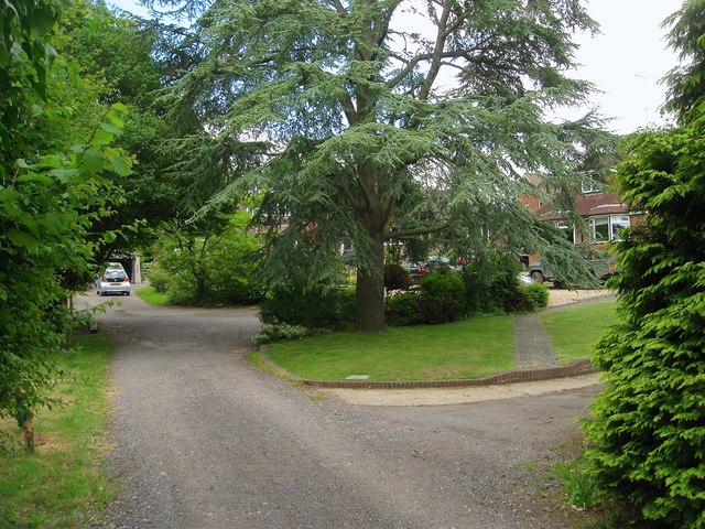
Image: © Simon Carey Taken: 6 Jun 2015
Small private cul de sac off Street Lane that was originally the southern portion of Gowers Wood that appears on the 1875 OS map but had disappeared by the 1897 edition. The current close was built in the 1960s and contains five properties
Images are licensed for reuse under creativecommons.org/licenses/by-sa/2.0
Image Location
Latitude
51.050372
Longitude
-0.08278