Ystwyth Trail near Crosswood
Introduction
The photograph on this page of Ystwyth Trail near Crosswood by Eirian Evans as part of the Geograph project.
The Geograph project started in 2005 with the aim of publishing, organising and preserving representative images for every square kilometre of Great Britain, Ireland and the Isle of Man.

There are currently over 7.5m images from over 14,400 individuals and you can help contribute to the project by visiting https://www.geograph.org.uk
Ystwyth Trail near Crosswood
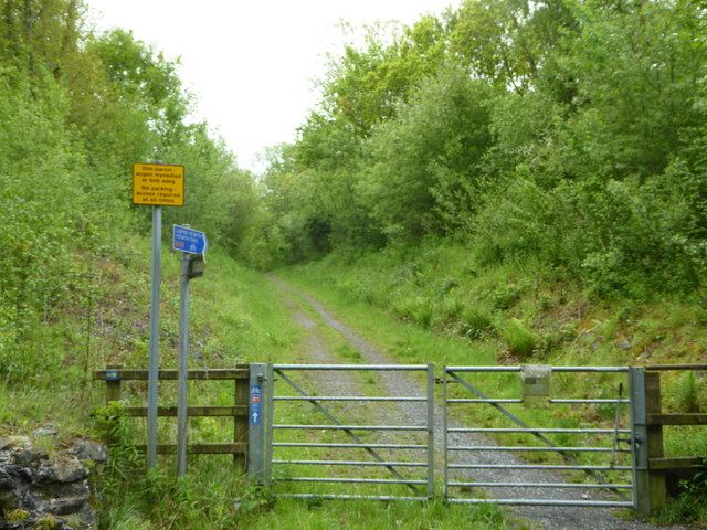
Image: © Eirian Evans Taken: 22 May 2015
The Ystwyth Trail is a 32.1km/20M footpath and cycle route linking Tregaron and Aberystwyth. Part of the trail follows the track of the old Great Western Railway line. Here is where it crosses the B4575.
Images are licensed for reuse under creativecommons.org/licenses/by-sa/2.0
Image Location
Latitude
52.342428
Longitude
-3.963577