Path from The Crescent to Libanus Road, Ebbw Vale
Introduction
The photograph on this page of Path from The Crescent to Libanus Road, Ebbw Vale by Jaggery as part of the Geograph project.
The Geograph project started in 2005 with the aim of publishing, organising and preserving representative images for every square kilometre of Great Britain, Ireland and the Isle of Man.

There are currently over 7.5m images from over 14,400 individuals and you can help contribute to the project by visiting https://www.geograph.org.uk
Path from The Crescent to Libanus Road, Ebbw Vale
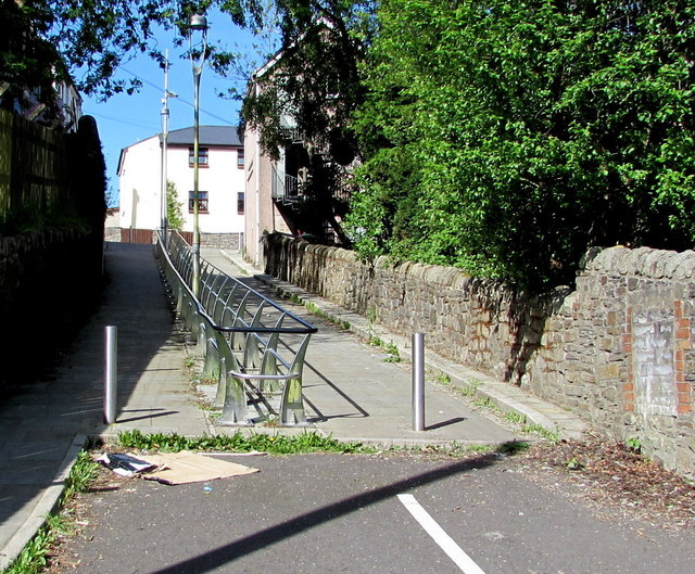
Image: © Jaggery Taken: 27 May 2015
Maps name this short pedestrianised street Station Road, a relic of a long since demolished railway station behind the camera. At the late May 2015 date of this photo, Ebbw Vale has two railway stations, Ebbw Vale Parkway and Ebbw Vale Town, both to the south.
Images are licensed for reuse under creativecommons.org/licenses/by-sa/2.0
Image Location
Latitude
51.781647
Longitude
-3.207174