The River Thames in Abingdon
Introduction
The photograph on this page of The River Thames in Abingdon by Steve Daniels as part of the Geograph project.
The Geograph project started in 2005 with the aim of publishing, organising and preserving representative images for every square kilometre of Great Britain, Ireland and the Isle of Man.

There are currently over 7.5m images from over 14,400 individuals and you can help contribute to the project by visiting https://www.geograph.org.uk
The River Thames in Abingdon
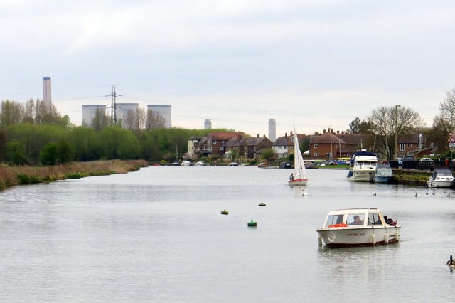
Image: © Steve Daniels Taken: 19 Apr 2015
The Thames Path is on the left bank. The towers of Didcot Power Station in the background are waiting to be demolished.
Images are licensed for reuse under creativecommons.org/licenses/by-sa/2.0
Image Location
Latitude
51.664914
Longitude
-1.283679