White Hart, Yetminster
Introduction
The photograph on this page of White Hart, Yetminster by Jaggery as part of the Geograph project.
The Geograph project started in 2005 with the aim of publishing, organising and preserving representative images for every square kilometre of Great Britain, Ireland and the Isle of Man.

There are currently over 7.5m images from over 14,400 individuals and you can help contribute to the project by visiting https://www.geograph.org.uk
White Hart, Yetminster
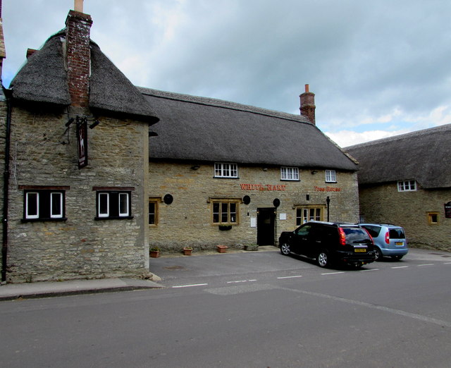
Image: © Jaggery Taken: 6 Jun 2015
Dating from c1600, the thatched pub is one of many Listed Buildings in Yetminster High Street.
Images are licensed for reuse under creativecommons.org/licenses/by-sa/2.0
Image Location
Latitude
50.895691
Longitude
-2.579229