High Lane near Burslem
Introduction
The photograph on this page of High Lane near Burslem by David Weston as part of the Geograph project.
The Geograph project started in 2005 with the aim of publishing, organising and preserving representative images for every square kilometre of Great Britain, Ireland and the Isle of Man.

There are currently over 7.5m images from over 14,400 individuals and you can help contribute to the project by visiting https://www.geograph.org.uk
High Lane near Burslem
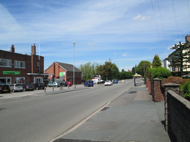
Image: © David Weston Taken: 4 Jun 2015
The A5272, between Smallthorne and Little Chell. The road runs to the east of Burslem and Tunstall.
Images are licensed for reuse under creativecommons.org/licenses/by-sa/2.0
Image Location
Latitude
53.059965
Longitude
-2.1908