The Royal Oak, Llanfair Llythynwg / Gladestry
Introduction
The photograph on this page of The Royal Oak, Llanfair Llythynwg / Gladestry by Alan Richards as part of the Geograph project.
The Geograph project started in 2005 with the aim of publishing, organising and preserving representative images for every square kilometre of Great Britain, Ireland and the Isle of Man.

There are currently over 7.5m images from over 14,400 individuals and you can help contribute to the project by visiting https://www.geograph.org.uk
The Royal Oak, Llanfair Llythynwg / Gladestry
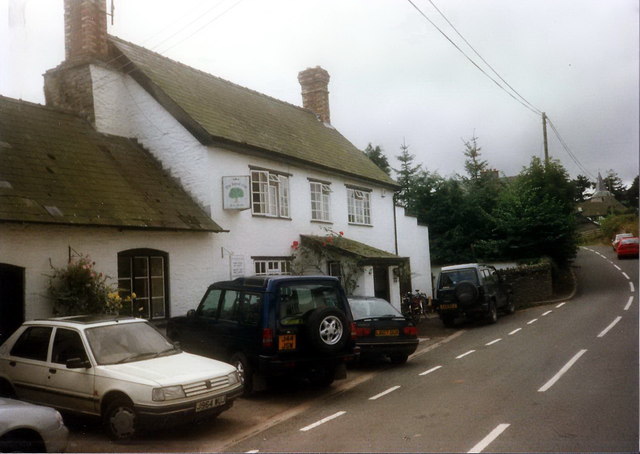
Image: © Alan Richards Taken: 23 Aug 1997
Llwybr Clawdd Offa yn mynd heibio i Dafarn y Royak Oak ym mhentre Llanfair Llythynwg. The Offa's Dyke Path passing the Royal Oak in the village of Gladestry.
Images are licensed for reuse under creativecommons.org/licenses/by-sa/2.0
Image Location
Latitude
52.188866
Longitude
-3.124553