Congleton Road, Mow Cop
Introduction
The photograph on this page of Congleton Road, Mow Cop by David Weston as part of the Geograph project.
The Geograph project started in 2005 with the aim of publishing, organising and preserving representative images for every square kilometre of Great Britain, Ireland and the Isle of Man.

There are currently over 7.5m images from over 14,400 individuals and you can help contribute to the project by visiting https://www.geograph.org.uk
Congleton Road, Mow Cop
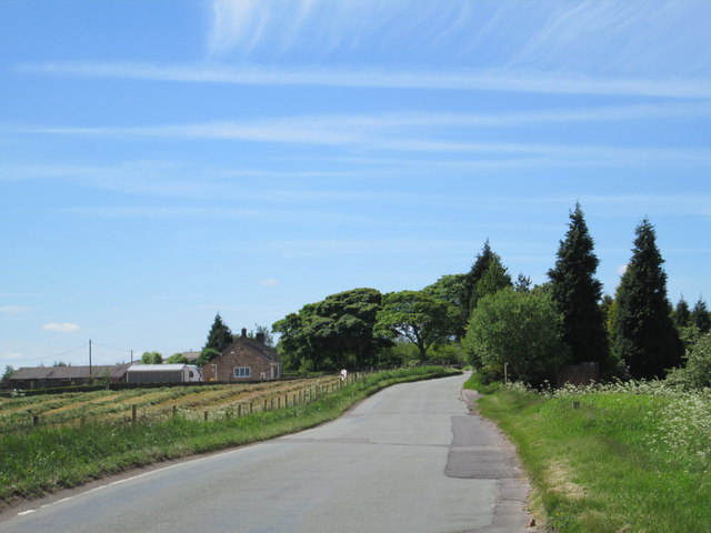
Image: © David Weston Taken: 4 Jun 2015
Looking along Congleton Road not far from the village of Mow Cop; it is the same viewpoint as Image The road is the boundary between Staffordshire (on the left) and Cheshire.
Images are licensed for reuse under creativecommons.org/licenses/by-sa/2.0
Image Location
Latitude
53.122061
Longitude
-2.201983