The former Wheatsheaf pub, Colmworth
Introduction
The photograph on this page of The former Wheatsheaf pub, Colmworth by Bikeboy as part of the Geograph project.
The Geograph project started in 2005 with the aim of publishing, organising and preserving representative images for every square kilometre of Great Britain, Ireland and the Isle of Man.

There are currently over 7.5m images from over 14,400 individuals and you can help contribute to the project by visiting https://www.geograph.org.uk
The former Wheatsheaf pub, Colmworth
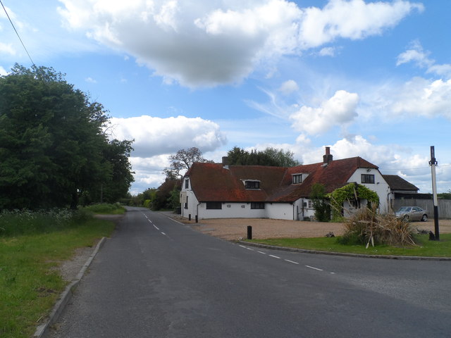
Image: © Bikeboy Taken: 30 May 2015
It is now called the Cornfields and it is a restaurant/hotel. It was built in C17 with some C20 extensions. It is not known if the building was always a pub but it was certainly by 1822 (Register of Alehouse Recognizances-see http://www.bedfordshire.gov.uk/CommunityAndLiving/ArchivesAndRecordOffice/CommunityArchives/Colmworth/CornfieldsHotelColmworth.aspx). The Wheatsheaf closed in 1995.
Images are licensed for reuse under creativecommons.org/licenses/by-sa/2.0
Image Location
Latitude
52.204118
Longitude
-0.390886