Gedling: Friday Lane and All Hallows' spire
Introduction
The photograph on this page of Gedling: Friday Lane and All Hallows' spire by John Sutton as part of the Geograph project.
The Geograph project started in 2005 with the aim of publishing, organising and preserving representative images for every square kilometre of Great Britain, Ireland and the Isle of Man.

There are currently over 7.5m images from over 14,400 individuals and you can help contribute to the project by visiting https://www.geograph.org.uk
Gedling: Friday Lane and All Hallows' spire
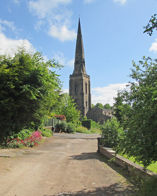
Image: © John Sutton Taken: 3 Jun 2015
Gedling's wonderful 180ft spire (1300-20) is the second tallest in the county. For more about it, see Image
Images are licensed for reuse under creativecommons.org/licenses/by-sa/2.0
Image Location
Latitude
52.976479
Longitude
-1.081391