Barnes Court, Stoke Gifford
Introduction
The photograph on this page of Barnes Court, Stoke Gifford by Jaggery as part of the Geograph project.
The Geograph project started in 2005 with the aim of publishing, organising and preserving representative images for every square kilometre of Great Britain, Ireland and the Isle of Man.

There are currently over 7.5m images from over 14,400 individuals and you can help contribute to the project by visiting https://www.geograph.org.uk
Barnes Court, Stoke Gifford
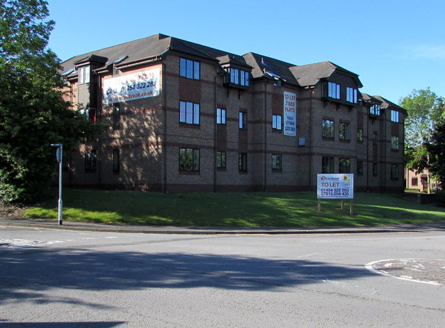
Image: © Jaggery Taken: 4 Jun 2015
Flats built in the first decade of the 21st century on the corner of Westfield Lane and Church Road.
Images are licensed for reuse under creativecommons.org/licenses/by-sa/2.0
Image Location
Latitude
51.513159
Longitude
-2.544519