Closed level crossing
Introduction
The photograph on this page of Closed level crossing by Richard Webb as part of the Geograph project.
The Geograph project started in 2005 with the aim of publishing, organising and preserving representative images for every square kilometre of Great Britain, Ireland and the Isle of Man.

There are currently over 7.5m images from over 14,400 individuals and you can help contribute to the project by visiting https://www.geograph.org.uk
Closed level crossing
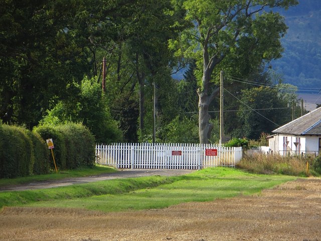
Image: © Richard Webb Taken: 30 Aug 2014
The road into Inchyra has been blocked by closing the level crossing. Another road to St Madoes is used instead.
Images are licensed for reuse under creativecommons.org/licenses/by-sa/2.0
Image Location
Latitude
56.371261
Longitude
-3.323148