Corner of the Moat
Introduction
The photograph on this page of Corner of the Moat by Des Blenkinsopp as part of the Geograph project.
The Geograph project started in 2005 with the aim of publishing, organising and preserving representative images for every square kilometre of Great Britain, Ireland and the Isle of Man.

There are currently over 7.5m images from over 14,400 individuals and you can help contribute to the project by visiting https://www.geograph.org.uk
Corner of the Moat
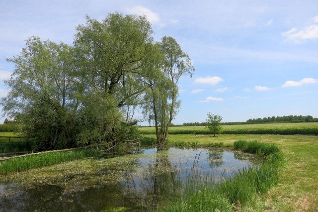
Image: © Des Blenkinsopp Taken: 27 May 2015
A section of a medieval moat at Moat Farm. Not much information available. See https://ubp.buckscc.gov.uk/SingleResult.aspx?uid=%27MBC1064%27 for a few details and a rather poor aerial photo.
Images are licensed for reuse under creativecommons.org/licenses/by-sa/2.0
Image Location
Latitude
51.779734
Longitude
-0.871205