Polling Station, Selsted School
Introduction
The photograph on this page of Polling Station, Selsted School by John Baker as part of the Geograph project.
The Geograph project started in 2005 with the aim of publishing, organising and preserving representative images for every square kilometre of Great Britain, Ireland and the Isle of Man.

There are currently over 7.5m images from over 14,400 individuals and you can help contribute to the project by visiting https://www.geograph.org.uk
Polling Station, Selsted School
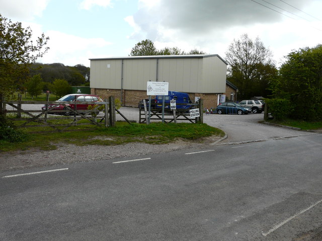
Image: © John Baker Taken: 7 May 2015
This is the polling station to which I had to go to cast my votes in general and local elections. 7 May was the date of a General Election. The actual name of this part of the school is Selsted Church of England Primary School and Community Hall for Sports and the Arts. Interestingly on the highest and second highest magnification, Selsted is spelt Selstead, on the online map. Another of those idiosyncrasies!
Images are licensed for reuse under creativecommons.org/licenses/by-sa/2.0
Image Location
Latitude
51.1574
Longitude
1.176106