The line to Whitstable
Introduction
The photograph on this page of The line to Whitstable by Marathon as part of the Geograph project.
The Geograph project started in 2005 with the aim of publishing, organising and preserving representative images for every square kilometre of Great Britain, Ireland and the Isle of Man.

There are currently over 7.5m images from over 14,400 individuals and you can help contribute to the project by visiting https://www.geograph.org.uk
The line to Whitstable
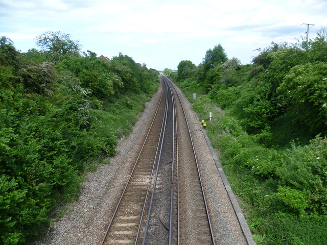
Image: © Marathon Taken: 28 May 2015
The railway line between Faversham and Whitstable was opened by the Margate Railway on 1st August 1860, and was extended to Herne Bay on 13th July 1861. This is the view from Seasalter Road looking towards Whitstable.
Images are licensed for reuse under creativecommons.org/licenses/by-sa/2.0
Image Location
Latitude
51.322594
Longitude
0.943765