Romsey fire station and tower
Introduction
The photograph on this page of Romsey fire station and tower by Jaggery as part of the Geograph project.
The Geograph project started in 2005 with the aim of publishing, organising and preserving representative images for every square kilometre of Great Britain, Ireland and the Isle of Man.

There are currently over 7.5m images from over 14,400 individuals and you can help contribute to the project by visiting https://www.geograph.org.uk
Romsey fire station and tower
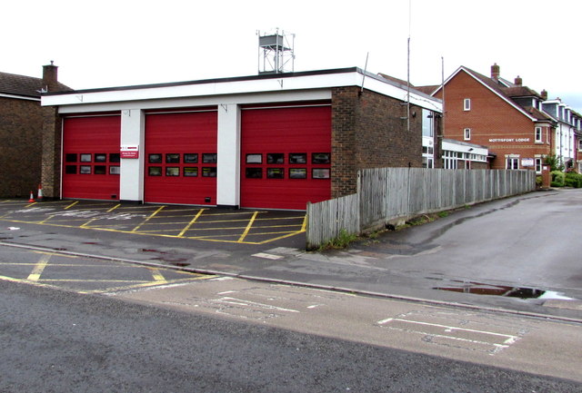
Image: © Jaggery Taken: 31 May 2015
Viewed across Alma Road. The station is part of the Test Valley and Eastleigh Group of the Hampshire Fire and Rescue Service. Mottisfont Lodge is in the background.
Images are licensed for reuse under creativecommons.org/licenses/by-sa/2.0
Image Location


Leaflet Map data © OpenStreetMap
Latitude
50.989819
Longitude
-1.492731