Scurragh Lane at the former junction with the A1
Introduction
The photograph on this page of Scurragh Lane at the former junction with the A1 by Tony Simms as part of the Geograph project.
The Geograph project started in 2005 with the aim of publishing, organising and preserving representative images for every square kilometre of Great Britain, Ireland and the Isle of Man.

There are currently over 7.5m images from over 14,400 individuals and you can help contribute to the project by visiting https://www.geograph.org.uk
Scurragh Lane at the former junction with the A1
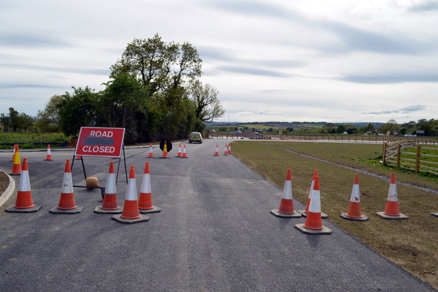
Image: © Tony Simms Taken: 30 May 2015
This is where the lane formerly met the A1. With the upgrade to motorway, a new relief road bears to the left and travels north to Scotch Corner, serving a handful of farms and houses en-route.
Images are licensed for reuse under creativecommons.org/licenses/by-sa/2.0
Image Location
Latitude
54.42449
Longitude
-1.665517