Queen Square, Ebbw Vale
Introduction
The photograph on this page of Queen Square, Ebbw Vale by Jaggery as part of the Geograph project.
The Geograph project started in 2005 with the aim of publishing, organising and preserving representative images for every square kilometre of Great Britain, Ireland and the Isle of Man.

There are currently over 7.5m images from over 14,400 individuals and you can help contribute to the project by visiting https://www.geograph.org.uk
Queen Square, Ebbw Vale
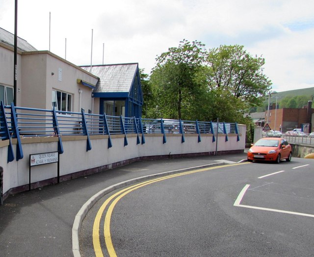
Image: © Jaggery Taken: 27 May 2015
Queen Square (Sgwâr y Frenhines in Welsh) connects the A4046 with The Crescent ahead. This route is not suitable for HGVs. http://www.geograph.org.uk/photo/4496162
Images are licensed for reuse under creativecommons.org/licenses/by-sa/2.0
Image Location
Latitude
51.779044
Longitude
-3.206814