The mill leat in Dulverton
Introduction
The photograph on this page of The mill leat in Dulverton by David Smith as part of the Geograph project.
The Geograph project started in 2005 with the aim of publishing, organising and preserving representative images for every square kilometre of Great Britain, Ireland and the Isle of Man.

There are currently over 7.5m images from over 14,400 individuals and you can help contribute to the project by visiting https://www.geograph.org.uk
The mill leat in Dulverton
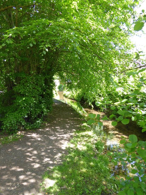
Image: © David Smith Taken: 27 May 2015
The leat runs close to the centre of Dulverton, since the water is abstracted from the Barle north of the town and the mill was at the southern side
Images are licensed for reuse under creativecommons.org/licenses/by-sa/2.0
Image Location


Leaflet Map data © OpenStreetMap
Latitude
51.04077
Longitude
-3.551833