Laying a gas main along London & Coombe Valley Roads
Introduction
The photograph on this page of Laying a gas main along London & Coombe Valley Roads by John Baker as part of the Geograph project.
The Geograph project started in 2005 with the aim of publishing, organising and preserving representative images for every square kilometre of Great Britain, Ireland and the Isle of Man.

There are currently over 7.5m images from over 14,400 individuals and you can help contribute to the project by visiting https://www.geograph.org.uk
Laying a gas main along London & Coombe Valley Roads
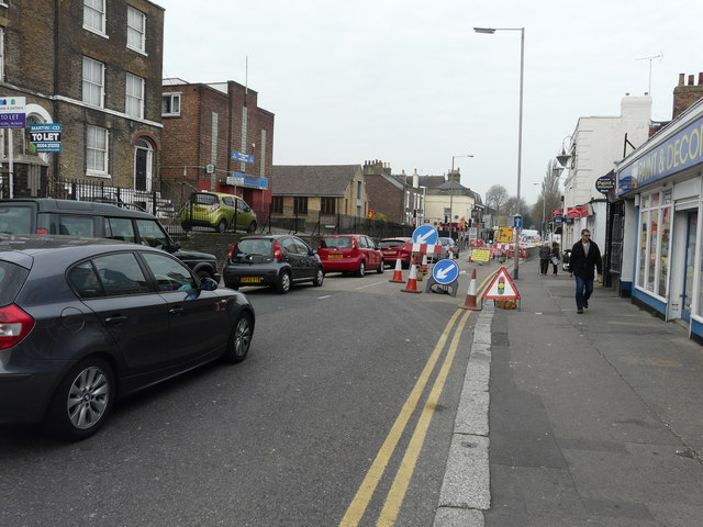
Image: © John Baker Taken: 24 Apr 2015
The work was started on 30 March 2015 and was expected to last for 15 weeks. Since London Road has been reduced to one lane and Coombe Valley Road has been closed to all traffic, the result has been long queues along London Road.
Images are licensed for reuse under creativecommons.org/licenses/by-sa/2.0
Image Location
Latitude
51.13436
Longitude
1.299908