Public bridleway east to the B5299
Introduction
The photograph on this page of Public bridleway east to the B5299 by Christine Johnstone as part of the Geograph project.
The Geograph project started in 2005 with the aim of publishing, organising and preserving representative images for every square kilometre of Great Britain, Ireland and the Isle of Man.

There are currently over 7.5m images from over 14,400 individuals and you can help contribute to the project by visiting https://www.geograph.org.uk
Public bridleway east to the B5299
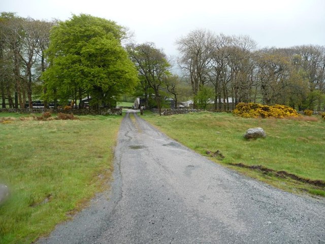
Image: © Christine Johnstone Taken: 18 May 2015
Also the entrance track to a farm called The Height.
Images are licensed for reuse under creativecommons.org/licenses/by-sa/2.0
Image Location
Latitude
54.760904
Longitude
-3.061523