Moyle Old School Lane
Introduction
The photograph on this page of Moyle Old School Lane by Alan Richards as part of the Geograph project.
The Geograph project started in 2005 with the aim of publishing, organising and preserving representative images for every square kilometre of Great Britain, Ireland and the Isle of Man.

There are currently over 7.5m images from over 14,400 individuals and you can help contribute to the project by visiting https://www.geograph.org.uk
Moyle Old School Lane
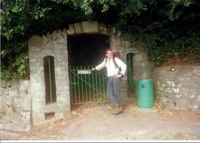
Image: © Alan Richards Taken: 20 Aug 1997
Llwybr Clawdd Offa yn gadael yr B4228 i ddilyn ffordd o'r enw Moyle Old School Lane. Offa's Dyke path leaving the B4228 to follow a way called Moyle Old School Lane
Images are licensed for reuse under creativecommons.org/licenses/by-sa/2.0
Image Location
Latitude
51.657309
Longitude
-2.663485