
Earthworks at Haresceugh
Introduction
The photograph on this page of Earthworks at Haresceugh by Matthew Hatton as part of the Geograph project.
The Geograph project started in 2005 with the aim of publishing, organising and preserving representative images for every square kilometre of Great Britain, Ireland and the Isle of Man.

There are currently over 7.5m images from over 14,400 individuals and you can help contribute to the project by visiting https://www.geograph.org.uk
Earthworks at Haresceugh
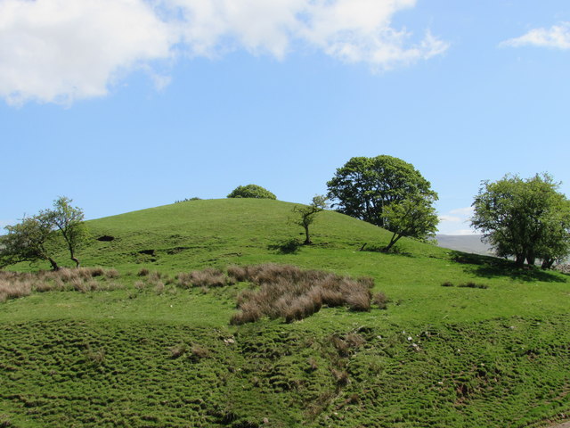
Image: © Matthew Hatton Taken: 23 May 2015
Written in 'Oldie' writing on a 1:25K map is Haresceaugh Castle, next to the farm that bears the same name. The history is very brief, a Medieval Manor was recorded here in the 12thC, and a later Hall was recorded on the site in 1660, this building was in great ruin and mostly pulled down in 1820. The last of the stone building collapsed in 1866 and the stones have been removed from the site. It is shown on the 1867 map. But nothing more is shown on later maps.
Images are licensed for reuse under creativecommons.org/licenses/by-sa/2.0
Image Location

Latitude
54.778679
Longitude
-2.607073