Strathearn from Laurencefield
Introduction
The photograph on this page of Strathearn from Laurencefield by Richard Webb as part of the Geograph project.
The Geograph project started in 2005 with the aim of publishing, organising and preserving representative images for every square kilometre of Great Britain, Ireland and the Isle of Man.

There are currently over 7.5m images from over 14,400 individuals and you can help contribute to the project by visiting https://www.geograph.org.uk
Strathearn from Laurencefield
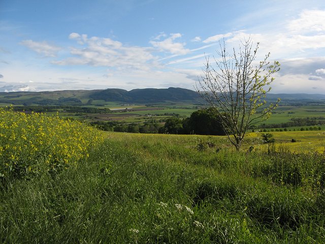
Image: © Richard Webb Taken: 27 May 2007
Oilseed rape growing on a south facing slope above Strathearn. Looking towards Craig Rossie and the Ochil Hills.
Images are licensed for reuse under creativecommons.org/licenses/by-sa/2.0
Image Location
Latitude
56.349105
Longitude
-3.608634