Cheltenham's Flood Alleviation Scheme in Cox's Meadow, Cheltenham, Glos
Introduction
The photograph on this page of Cheltenham's Flood Alleviation Scheme in Cox's Meadow, Cheltenham, Glos by P L Chadwick as part of the Geograph project.
The Geograph project started in 2005 with the aim of publishing, organising and preserving representative images for every square kilometre of Great Britain, Ireland and the Isle of Man.

There are currently over 7.5m images from over 14,400 individuals and you can help contribute to the project by visiting https://www.geograph.org.uk
Cheltenham's Flood Alleviation Scheme in Cox's Meadow, Cheltenham, Glos
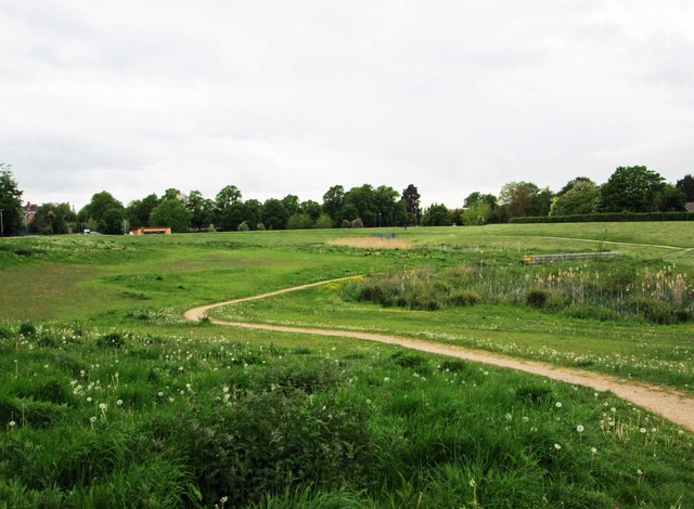
Image: © P L Chadwick Taken: 22 May 2015
Cox's Meadow forms an important part of this scheme. See:- Image
Images are licensed for reuse under creativecommons.org/licenses/by-sa/2.0
Image Location


Leaflet Map data © OpenStreetMap
Latitude
51.890236
Longitude
-2.065196