Home Farm
Introduction
The photograph on this page of Home Farm by Dave Smethurst as part of the Geograph project.
The Geograph project started in 2005 with the aim of publishing, organising and preserving representative images for every square kilometre of Great Britain, Ireland and the Isle of Man.

There are currently over 7.5m images from over 14,400 individuals and you can help contribute to the project by visiting https://www.geograph.org.uk
Home Farm
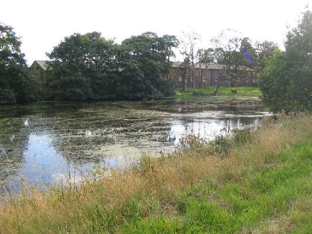
Image: © Dave Smethurst Taken: 28 Aug 2005
This picture was taken from SJ744864 looking SW across the pond to Home Farm, this farm has been previously known as Dunham Farm.
Images are licensed for reuse under creativecommons.org/licenses/by-sa/2.0
Image Location
Latitude
53.373832
Longitude
-2.386246