Sign for Chester on Chester bypass
Introduction
The photograph on this page of Sign for Chester on Chester bypass by David Smith as part of the Geograph project.
The Geograph project started in 2005 with the aim of publishing, organising and preserving representative images for every square kilometre of Great Britain, Ireland and the Isle of Man.

There are currently over 7.5m images from over 14,400 individuals and you can help contribute to the project by visiting https://www.geograph.org.uk
Sign for Chester on Chester bypass
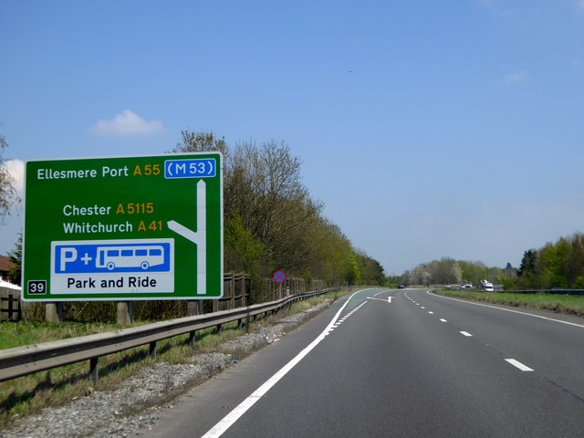
Image: © David Smith Taken: 23 Apr 2015
This left turn leads to the "old" bypass on the east of Chester. Ahead leads to the motorway. The city has expanded to the older road, and there are still green fields between the two roads
Images are licensed for reuse under creativecommons.org/licenses/by-sa/2.0
Image Location
Latitude
53.176757
Longitude
-2.858463