Chyenhal Moor
Introduction
The photograph on this page of Chyenhal Moor by Rude Health as part of the Geograph project.
The Geograph project started in 2005 with the aim of publishing, organising and preserving representative images for every square kilometre of Great Britain, Ireland and the Isle of Man.

There are currently over 7.5m images from over 14,400 individuals and you can help contribute to the project by visiting https://www.geograph.org.uk
Chyenhal Moor
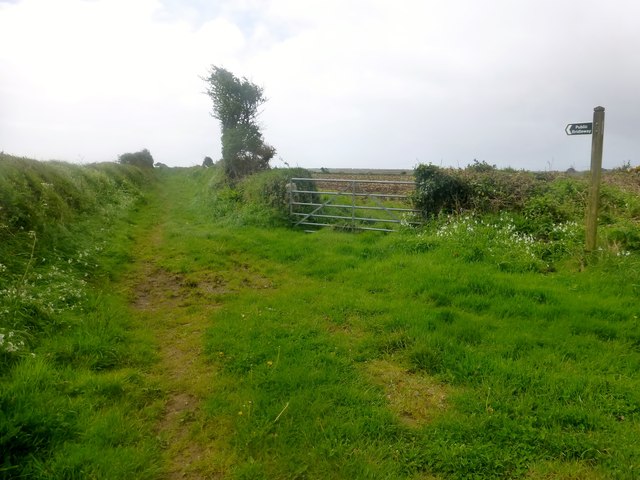
Image: © Rude Health Taken: 6 May 2015
Bagged former trig site at reservoir, road at bridleway junction and walked along bridleway with remains of cauliflowers in the fields. Generally a flat summit. Name: Chyenhal Moor Hill number: 17784 Height: 116m / 381ft Parent (Ma/M): 2887 Watch Croft [White Downs] Section: 40: Cornwall & Devon County/UA: Cornwall (CoU) Class: Tump (100-199m) Grid ref: SW 45312 27348 Summit feature: mound on S side of road Drop: 35m Col: 81m SW440283
Images are licensed for reuse under creativecommons.org/licenses/by-sa/2.0
Image Location


Leaflet Map data © OpenStreetMap
Latitude
50.091364
Longitude
-5.56191