Road Junction
Introduction
The photograph on this page of Road Junction by Dave Smethurst as part of the Geograph project.
The Geograph project started in 2005 with the aim of publishing, organising and preserving representative images for every square kilometre of Great Britain, Ireland and the Isle of Man.

There are currently over 7.5m images from over 14,400 individuals and you can help contribute to the project by visiting https://www.geograph.org.uk
Road Junction
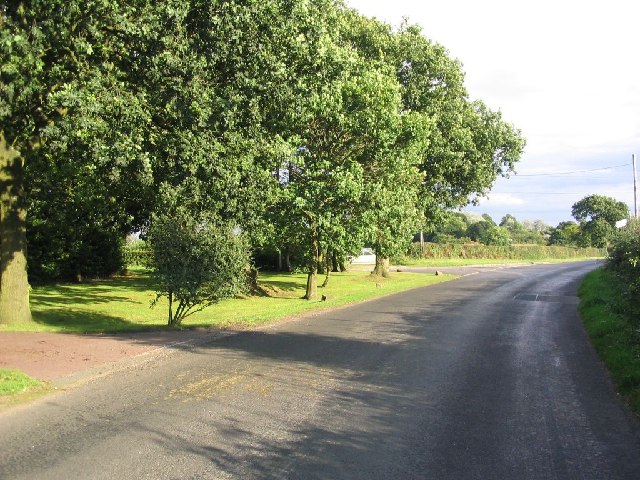
Image: © Dave Smethurst Taken: 28 Aug 2005
Peacock Lane runs SE from here towards Bucklow Hill and the road to Moss House farm can be seen on the left of the image. This picture was taken at SJ717842.
Images are licensed for reuse under creativecommons.org/licenses/by-sa/2.0
Image Location


Leaflet Map data © OpenStreetMap
Latitude
53.35392
Longitude
-2.42663