Chipping Hall
Introduction
The photograph on this page of Chipping Hall by Bikeboy as part of the Geograph project.
The Geograph project started in 2005 with the aim of publishing, organising and preserving representative images for every square kilometre of Great Britain, Ireland and the Isle of Man.

There are currently over 7.5m images from over 14,400 individuals and you can help contribute to the project by visiting https://www.geograph.org.uk
Chipping Hall
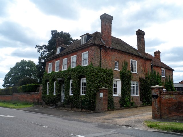
Image: © Bikeboy Taken: 17 May 2015
Built early in C18. See http://www.britishlistedbuildings.co.uk/en-160269-chipping-hall-and-garden-walls-buckland-#.VV5CMflViko for entry in British Listed Buildings This part of the A10 is the former Roman Road of Ermine Street which linked London and Lincoln.
Images are licensed for reuse under creativecommons.org/licenses/by-sa/2.0
Image Location
Latitude
51.969325
Longitude
-0.028375