Lane to Hunton near Lingy Hill
Introduction
The photograph on this page of Lane to Hunton near Lingy Hill by Tony Simms as part of the Geograph project.
The Geograph project started in 2005 with the aim of publishing, organising and preserving representative images for every square kilometre of Great Britain, Ireland and the Isle of Man.

There are currently over 7.5m images from over 14,400 individuals and you can help contribute to the project by visiting https://www.geograph.org.uk
Lane to Hunton near Lingy Hill
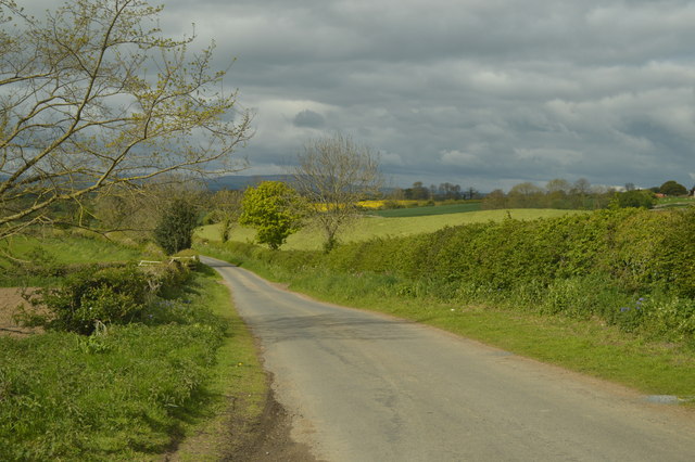
Image: © Tony Simms Taken: 20 May 2015
Lingy meaning heathery. Not a lot of heather in this part of the world these days.
Images are licensed for reuse under creativecommons.org/licenses/by-sa/2.0
Image Location
Latitude
54.341339
Longitude
-1.691724