Field on flanks of Disgwylfa Hill
Introduction
The photograph on this page of Field on flanks of Disgwylfa Hill by Chris Heaton as part of the Geograph project.
The Geograph project started in 2005 with the aim of publishing, organising and preserving representative images for every square kilometre of Great Britain, Ireland and the Isle of Man.

There are currently over 7.5m images from over 14,400 individuals and you can help contribute to the project by visiting https://www.geograph.org.uk
Field on flanks of Disgwylfa Hill
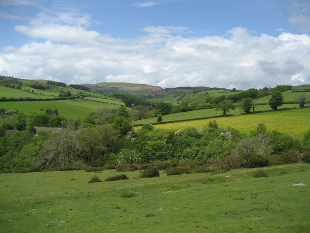
Image: © Chris Heaton Taken: 15 May 2007
Seen from the Offa's Dyke National Trail, a pleasant field with views of the Upper Arrow Valley beyond.
Images are licensed for reuse under creativecommons.org/licenses/by-sa/2.0
Image Location


Leaflet Map data © OpenStreetMap
Latitude
52.153732
Longitude
-3.141208