Hampton Village and St Mary's Church Tower
Introduction
The photograph on this page of Hampton Village and St Mary's Church Tower by David Dixon as part of the Geograph project.
The Geograph project started in 2005 with the aim of publishing, organising and preserving representative images for every square kilometre of Great Britain, Ireland and the Isle of Man.

There are currently over 7.5m images from over 14,400 individuals and you can help contribute to the project by visiting https://www.geograph.org.uk
Hampton Village and St Mary's Church Tower
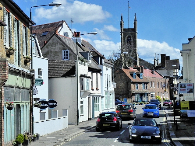
Image: © David Dixon Taken: 11 Apr 2015
The A308 runs between Kensington, in London, and Bisham in Berkshire, staying no more than 3 miles from the River Thames http://en.wikipedia.org/wiki/A308_road . It is very narrow and winding as it passes through Hampton village as Upper Subury Road and, briefly, Thames Street. This section often suffers from traffic congestion.
Images are licensed for reuse under creativecommons.org/licenses/by-sa/2.0
Image Location
Latitude
51.413085
Longitude
-0.363304