Boscombe, demolition site
Introduction
The photograph on this page of Boscombe, demolition site by Mike Faherty as part of the Geograph project.
The Geograph project started in 2005 with the aim of publishing, organising and preserving representative images for every square kilometre of Great Britain, Ireland and the Isle of Man.

There are currently over 7.5m images from over 14,400 individuals and you can help contribute to the project by visiting https://www.geograph.org.uk
Boscombe, demolition site
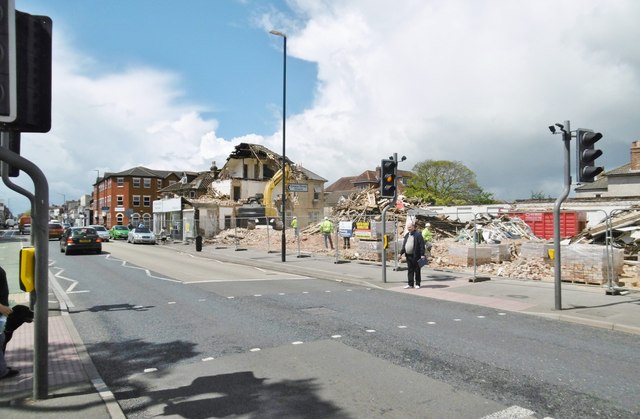
Image: © Mike Faherty Taken: 19 May 2015
On Christchurch Road. Until recently, this was a row of houses with projecting shop fronts; now to become housing controlled by a local magnate.
Images are licensed for reuse under creativecommons.org/licenses/by-sa/2.0
Image Location
Latitude
50.728668
Longitude
-1.832054