Towards the northern end of the canal, Bridgwater
Introduction
The photograph on this page of Towards the northern end of the canal, Bridgwater by Jaggery as part of the Geograph project.
The Geograph project started in 2005 with the aim of publishing, organising and preserving representative images for every square kilometre of Great Britain, Ireland and the Isle of Man.

There are currently over 7.5m images from over 14,400 individuals and you can help contribute to the project by visiting https://www.geograph.org.uk
Towards the northern end of the canal, Bridgwater
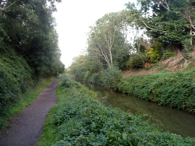
Image: © Jaggery Taken: 4 Oct 2012
This is the Bridgwater & Taunton canal north of Victoria Road. Out of shot ahead, the canal enters locks connecting with the River Parrett.
Images are licensed for reuse under creativecommons.org/licenses/by-sa/2.0
Image Location
Latitude
51.130603
Longitude
-3.010758