Groove Hill T-junction
Introduction
The photograph on this page of Groove Hill T-junction by Patrick GUEULLE as part of the Geograph project.
The Geograph project started in 2005 with the aim of publishing, organising and preserving representative images for every square kilometre of Great Britain, Ireland and the Isle of Man.

There are currently over 7.5m images from over 14,400 individuals and you can help contribute to the project by visiting https://www.geograph.org.uk
Groove Hill T-junction
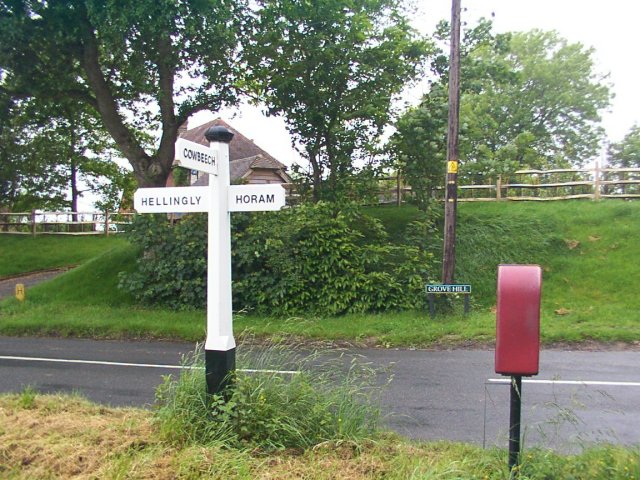
Image: © Patrick GUEULLE Taken: 27 May 2007
Halfway between Hellingly and Horam, just 1 km East of the Cuckoo Trail, the postal box and the road sign of the Cowbeech road.
Images are licensed for reuse under creativecommons.org/licenses/by-sa/2.0
Image Location


Leaflet Map data © OpenStreetMap
Latitude
50.903281
Longitude
0.275569