Holland Road, E15
Introduction
The photograph on this page of Holland Road, E15 by Danny P Robinson as part of the Geograph project.
The Geograph project started in 2005 with the aim of publishing, organising and preserving representative images for every square kilometre of Great Britain, Ireland and the Isle of Man.

There are currently over 7.5m images from over 14,400 individuals and you can help contribute to the project by visiting https://www.geograph.org.uk
Holland Road, E15
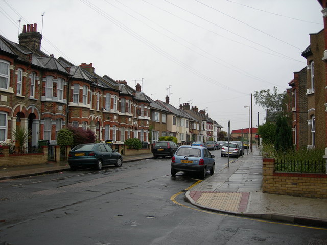
Image: © Danny P Robinson Taken: 28 May 2007
The main railway line to Southend, and the London Underground District Line to Upminster runs behind these houses. West Ham Station is only a short walk away.
Images are licensed for reuse under creativecommons.org/licenses/by-sa/2.0
Image Location
Latitude
51.527836
Longitude
0.0067