Parish boundary Great Yeldham / Little Yeldham
Introduction
The photograph on this page of Parish boundary Great Yeldham / Little Yeldham by Roger Jones as part of the Geograph project.
The Geograph project started in 2005 with the aim of publishing, organising and preserving representative images for every square kilometre of Great Britain, Ireland and the Isle of Man.

There are currently over 7.5m images from over 14,400 individuals and you can help contribute to the project by visiting https://www.geograph.org.uk
Parish boundary Great Yeldham / Little Yeldham
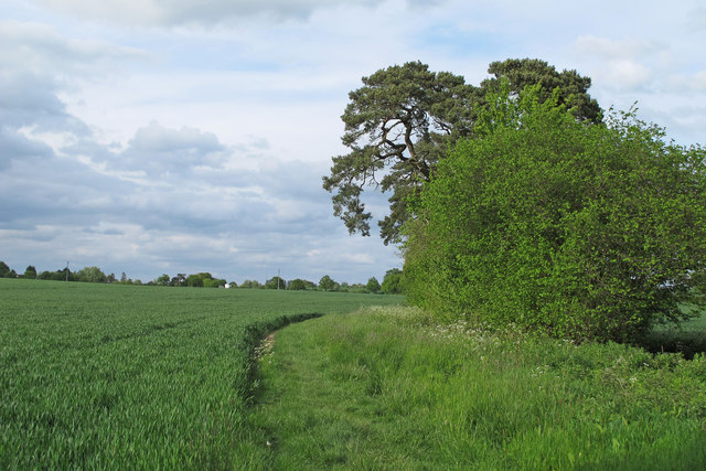
Image: © Roger Jones Taken: 17 May 2015
The parish boundary between Great and Little Yeldham runs along this arable field boundary (next to a stream) close to Mill Lane.
Images are licensed for reuse under creativecommons.org/licenses/by-sa/2.0
Image Location
Latitude
52.024327
Longitude
0.570088