Woonton
Introduction
The photograph on this page of Woonton by Philip Pankhurst as part of the Geograph project.
The Geograph project started in 2005 with the aim of publishing, organising and preserving representative images for every square kilometre of Great Britain, Ireland and the Isle of Man.

There are currently over 7.5m images from over 14,400 individuals and you can help contribute to the project by visiting https://www.geograph.org.uk
Woonton
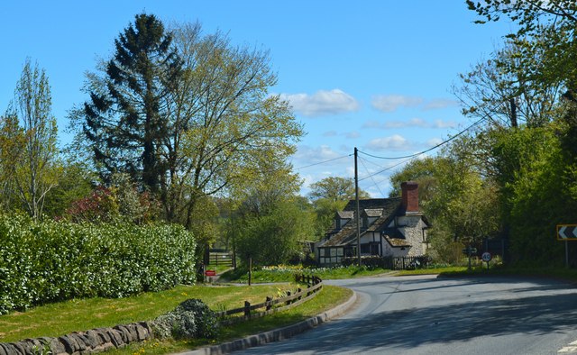
Image: © Philip Pankhurst Taken: 26 Apr 2015
A charming hamlet on the main road. It once had pub, chapel, post office and school - now all gone. It is still on a main bus route to Hereford, Kington and Llandrindod Wells, however. The railway didn't come near.
Images are licensed for reuse under creativecommons.org/licenses/by-sa/2.0
Image Location
Latitude
52.164795
Longitude
-2.94777