Browne's Pond, Bridgwater
Introduction
The photograph on this page of Browne's Pond, Bridgwater by Jaggery as part of the Geograph project.
The Geograph project started in 2005 with the aim of publishing, organising and preserving representative images for every square kilometre of Great Britain, Ireland and the Isle of Man.

There are currently over 7.5m images from over 14,400 individuals and you can help contribute to the project by visiting https://www.geograph.org.uk
Browne's Pond, Bridgwater
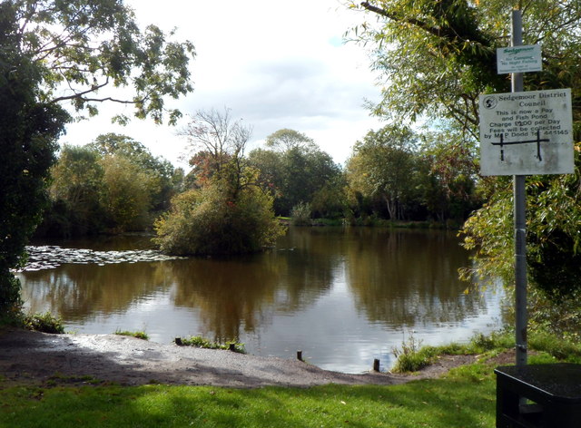
Image: © Jaggery Taken: 4 Oct 2012
The Sedgemoor District Council notice states that this is a Pay and Fish pond. The pond is near Bridgwater & Taunton Canal bridge 6. http://www.geograph.org.uk/photo/4480649
Images are licensed for reuse under creativecommons.org/licenses/by-sa/2.0
Image Location
Latitude
51.12303
Longitude
-3.002591