Junction at Upper Cockshutt
Introduction
The photograph on this page of Junction at Upper Cockshutt by Richard Law as part of the Geograph project.
The Geograph project started in 2005 with the aim of publishing, organising and preserving representative images for every square kilometre of Great Britain, Ireland and the Isle of Man.

There are currently over 7.5m images from over 14,400 individuals and you can help contribute to the project by visiting https://www.geograph.org.uk
Junction at Upper Cockshutt
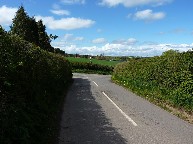
Image: © Richard Law Taken: 3 May 2015
The junction of the lane from Oldfield and Middleton Scriven, with the B4364 Ludlow Road. The pre-Worboys milepost stands above the hedgerow on the other side of the main road.
Images are licensed for reuse under creativecommons.org/licenses/by-sa/2.0
Image Location
Latitude
52.500869
Longitude
-2.486672