Railway towards Patchway Tunnel
Introduction
The photograph on this page of Railway towards Patchway Tunnel by Jaggery as part of the Geograph project.
The Geograph project started in 2005 with the aim of publishing, organising and preserving representative images for every square kilometre of Great Britain, Ireland and the Isle of Man.

There are currently over 7.5m images from over 14,400 individuals and you can help contribute to the project by visiting https://www.geograph.org.uk
Railway towards Patchway Tunnel
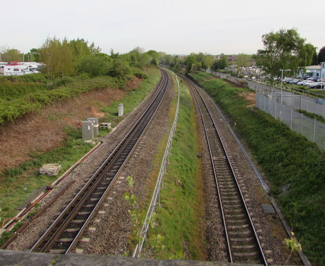
Image: © Jaggery Taken: 13 May 2015
Viewed from this http://www.geograph.org.uk/photo/4480460 footbridge. Because of the different track levels, the SE portals of Patchway Tunnel (out of shot ahead) are not side by side. The portal for the track on the left is about 250 metres behind the portal for the lower track.
Images are licensed for reuse under creativecommons.org/licenses/by-sa/2.0
Image Location


Leaflet Map data © OpenStreetMap
Latitude
51.529607
Longitude
-2.565041