Watnall village boundary sign
Introduction
The photograph on this page of Watnall village boundary sign by Graham Hogg as part of the Geograph project.
The Geograph project started in 2005 with the aim of publishing, organising and preserving representative images for every square kilometre of Great Britain, Ireland and the Isle of Man.

There are currently over 7.5m images from over 14,400 individuals and you can help contribute to the project by visiting https://www.geograph.org.uk
Watnall village boundary sign
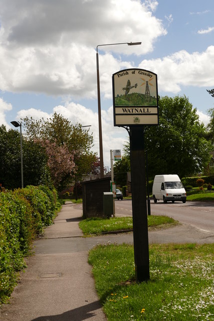
Image: © Graham Hogg Taken: 12 May 2015
The aircraft on the sign (a Spitfire?) is a reference to Watnall being the location of the RAF fighter command for the Midlands in WWII.
Images are licensed for reuse under creativecommons.org/licenses/by-sa/2.0
Image Location
Latitude
53.009517
Longitude
-1.255217