Flood defence works, by Kessock Road
Introduction
The photograph on this page of Flood defence works, by Kessock Road by Craig Wallace as part of the Geograph project.
The Geograph project started in 2005 with the aim of publishing, organising and preserving representative images for every square kilometre of Great Britain, Ireland and the Isle of Man.

There are currently over 7.5m images from over 14,400 individuals and you can help contribute to the project by visiting https://www.geograph.org.uk
Flood defence works, by Kessock Road
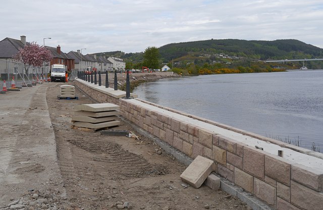
Image: © Craig Wallace Taken: 15 May 2015
A concrete wall is being constructed alongside the road. One lane of the road is closed, the other lane is controlled with traffic lights. Here the River Ness curves round past Carnarc Point, as it joins the Beauly Firth. The Kessock Bridge is visible in the distance on the right.
Images are licensed for reuse under creativecommons.org/licenses/by-sa/2.0
Image Location
Latitude
57.49053
Longitude
-4.238827