St Johns' Almshouse, Sherborne
Introduction
The photograph on this page of St Johns' Almshouse, Sherborne by Jaggery as part of the Geograph project.
The Geograph project started in 2005 with the aim of publishing, organising and preserving representative images for every square kilometre of Great Britain, Ireland and the Isle of Man.

There are currently over 7.5m images from over 14,400 individuals and you can help contribute to the project by visiting https://www.geograph.org.uk
St Johns' Almshouse, Sherborne
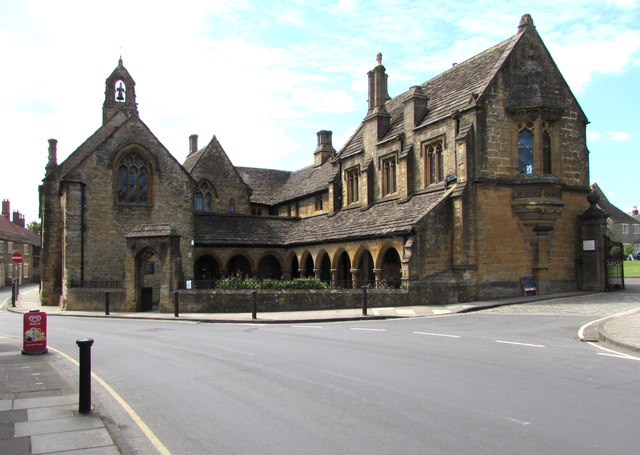
Image: © Jaggery Taken: 13 May 2015
On the corner of Half Moon Street and Trendle Street, SW of the Abbey. http://www.geograph.org.uk/photo/4475823 A board on the wall shows that the almshouse was founded in 1437.
Images are licensed for reuse under creativecommons.org/licenses/by-sa/2.0
Image Location


Leaflet Map data © OpenStreetMap
Latitude
50.946071
Longitude
-2.516939