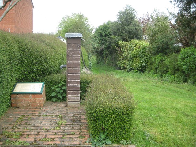
Welford: Old Parish Pump and Well Lane
Introduction
The photograph on this page of Welford: Old Parish Pump and Well Lane by Nigel Cox as part of the Geograph project.
The Geograph project started in 2005 with the aim of publishing, organising and preserving representative images for every square kilometre of Great Britain, Ireland and the Isle of Man.
There are currently over 7.5m images from over 14,400 individuals and you can help contribute to the project by visiting https://www.geograph.org.uk

Image: © Nigel Cox Taken: 7 May 2015
The old parish pump is fed by a well said to be about 40 feet deep that is believed to date from the 17th century. It became redundant when mains water was introduced to the village in the late 1940s. This well, one of the last three public ones in the village, was restored in 1997 with the help of donations from parishioners. Well Lane on the right was once a route out of the village to the west, but was truncated after the field pattern was altered after the Enclosures Act of 1780. It's now a green lane that stops after about 200 metres, when a watercourse crossing is reached. Most of what the photographer has written here was gleaned from the very helpful information board on the left.

