Atholl Road, Pitlochry and Etape Caledonia
Introduction
The photograph on this page of Atholl Road, Pitlochry and Etape Caledonia by Douglas Nelson as part of the Geograph project.
The Geograph project started in 2005 with the aim of publishing, organising and preserving representative images for every square kilometre of Great Britain, Ireland and the Isle of Man.

There are currently over 7.5m images from over 14,400 individuals and you can help contribute to the project by visiting https://www.geograph.org.uk
Atholl Road, Pitlochry and Etape Caledonia
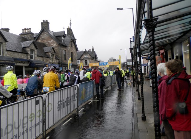
Image: © Douglas Nelson Taken: 10 May 2015
At the start of a very wet cycle race over 81 miles through Highland Perthshire.
Images are licensed for reuse under creativecommons.org/licenses/by-sa/2.0
Image Location
Latitude
56.702801
Longitude
-3.733297