On the Gloucestershire Way
Introduction
The photograph on this page of On the Gloucestershire Way by Graham Horn as part of the Geograph project.
The Geograph project started in 2005 with the aim of publishing, organising and preserving representative images for every square kilometre of Great Britain, Ireland and the Isle of Man.

There are currently over 7.5m images from over 14,400 individuals and you can help contribute to the project by visiting https://www.geograph.org.uk
On the Gloucestershire Way
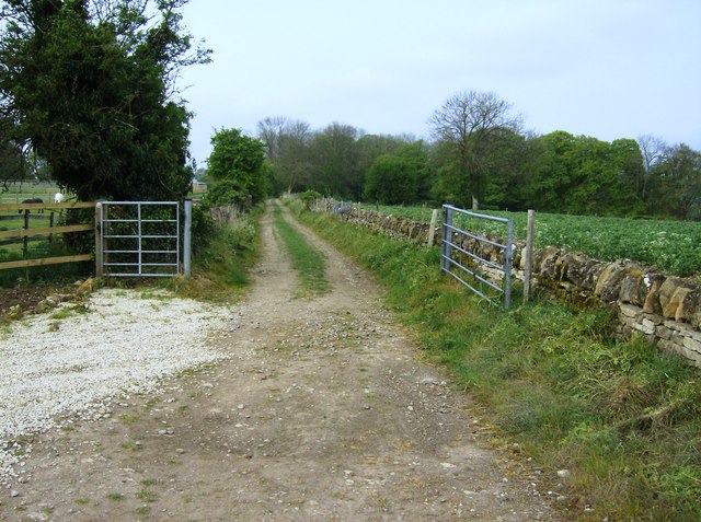
Image: © Graham Horn Taken: 29 Apr 2007
The Gloucestershire Way soon leaves Stow town centre on this path on the west side of the A429. It is also a convenient route for Macmillan Way walkers who have diverted to stay in Stow overnight; not strictly on route but avoids a longer section of road walking. When you are halfway between Lincolnshire and Dorset the odd diversion won't make much difference.
Images are licensed for reuse under creativecommons.org/licenses/by-sa/2.0
Image Location
Latitude
51.923653
Longitude
-1.726721