412, Canterbury Road
Introduction
The photograph on this page of 412, Canterbury Road by John Baker as part of the Geograph project.
The Geograph project started in 2005 with the aim of publishing, organising and preserving representative images for every square kilometre of Great Britain, Ireland and the Isle of Man.

There are currently over 7.5m images from over 14,400 individuals and you can help contribute to the project by visiting https://www.geograph.org.uk
412, Canterbury Road
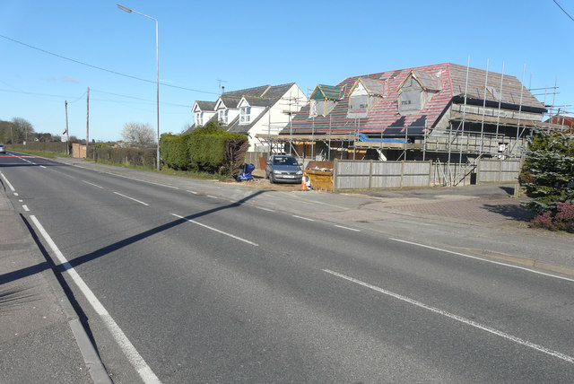
Image: © John Baker Taken: 5 Apr 2015
Planning permission has been approved, with conditions, by Folkestone and Hythe District Council under application number Y14/0715/SH for the “erection of a two storey side/rear extension together with extension and alteration to roof, other external alterations and formation of new access”. Beyond the house is number 414, which I photographed when it was undergoing a Image
Images are licensed for reuse under creativecommons.org/licenses/by-sa/2.0
Image Location
Latitude
51.134533
Longitude
1.160239