Ruined byer at Todd Hill
Introduction
The photograph on this page of Ruined byer at Todd Hill by Robert Graham as part of the Geograph project.
The Geograph project started in 2005 with the aim of publishing, organising and preserving representative images for every square kilometre of Great Britain, Ireland and the Isle of Man.

There are currently over 7.5m images from over 14,400 individuals and you can help contribute to the project by visiting https://www.geograph.org.uk
Ruined byer at Todd Hill
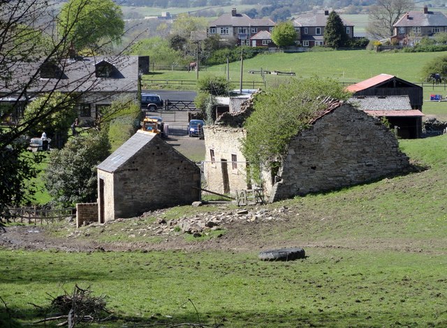
Image: © Robert Graham Taken: 4 May 2015
Tod Hill Farm is recorded as belonging to Thomas Raw, one of the last of the moss troopers, in 1712. Perhaps this old byer goes back to those times. The original longhouse farmhouse was replaced by the house shown here in the background, probably sometime in the second half of the 19th century.
Images are licensed for reuse under creativecommons.org/licenses/by-sa/2.0
Image Location
Latitude
54.836463
Longitude
-1.860315